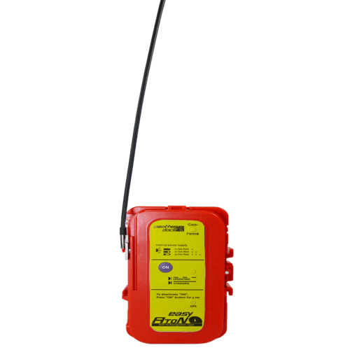
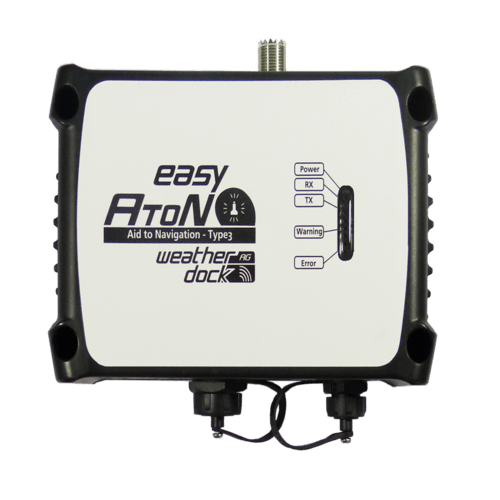
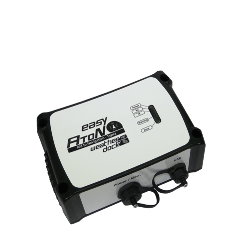
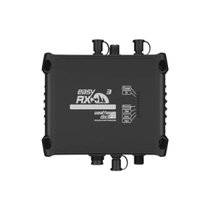
easyAtoN Type3
The easyAtoN Type 3 is a compact and cost-effective AIS Aids to Navigation (AtoN) device designed for maritime safety. It broadcasts virtual, synthetic, or physical AtoN messages (AIS Message Type 21) to nearby vessels, providing real-time navigational data such as position, name, and status. Ideal for buoys, lighthouses, and offshore platforms, the Type 3 model supports advanced features like GPS synchronization, remote monitoring, and optional sensor integration.
Description
Function
The easyAtoN Type3 uses the AIS system to broadcast up to 32 AtoN real, synthetic and/or virtual navigation marker positions to all AIS receivers within the vicinity.
- Real AtoN
existing navigation marker with transmitter equipment. - Synthetic AtoN
existing navigation marker without transmitter equipment which become visible within the AIS
system on chart plotter. - Virtual AtoN
a position of no existing navigation mark becomes visible within the AIS system on chart plotter.
Highlights
- The easyAtoN Type3 has the Capability of generating virtual and synthetic AtoN navigation marks
- The easyAtoN Type3 has Integrated GPS antenna
- AIS FATDMA or RATDMA (by software selectable)
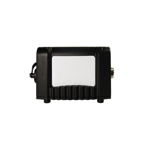
- Waterproof and rigid housing
- Control for external power switch
Technical Data
- Dimensions (L x W x H): 180 x 120 x 50 mm
- Weight: 700 g
- Power Supply: 9.6 – 31.2VDC
Consumption: 3-6W@12VDC
(depending on configuration level)
Option: Solar panel - Transmission Power 5 Watt
- IP67 waterproof
- 72-channel GNSS receiver
- Operation temperature: -10°C to +55°C
- Functionality: 5 Status LEDs
- Bandwidth/Modulation: 25 kHz, GMSK, 9.6 kbps
- Transmitter: single AIS transceiver (supports AIS1/AIS2)
- Receiver: dual-channel AIS receiver (AIS1/AIS2) + DSC support
- Transmit Power: 5 W (50 Ω)
Specifications
General
-
Ingress Protection: IP67 (waterproof & dustproof)
-
Operating Temp: –15 °C to +55 °C (storage: –20 °C to +75 °C)
-
Compass Safety Distance: minimum 80 cm
Power
-
Input Voltage: 9.6–31.2 V DC (typically 12 V or 24 V)
-
Consumption:
-
Transmit: ≈2 A at 12 V
-
Standby: ≈240 mA at 12 V
-
Equivalent to about 3–6 W @ 12 V, depending on reporting rate
-
AIS & RF
-
Transmitter: single AIS transceiver (supports AIS1/AIS2)
-
Receiver: dual-channel AIS receiver (AIS1/AIS2) + DSC support
-
Transmit Power: 5 W (50 Ω)
-
Frequencies: AIS1 161.975 MHz, AIS2 162.025 MHz; marine band ±156–162 MHz
-
Bandwidth/Modulation: 25 kHz, GMSK, 9.6 kbps
-
Sensitivity: –114 dBm (<20% PER)
-
Adjacent-channel rejection: 70 dB; co-channel: 10 dB; intermodulation: 65 dB; blocking: 84 dB
GNSS
-
GPS/GNSS Receiver: 72‑channel internal module (GPS & GLONASS)
Interfaces
-
NMEA‑0183: 3 × inputs & 3 × outputs
-
USB: for configuration via PC software
-
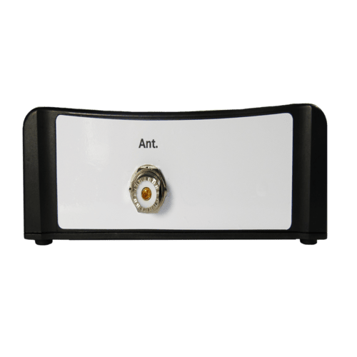
VHF Antenna: N‑type connector
-
Optional: NMEA‑2000, light/sensor control, external switches (configured via USB/software)
Functional Features
-
The easyAtoN Type3 Broadcasts up to 31 (some sources say 32) real, synthetic, and virtual AtoN positions
-
Supports both FATDMA and RATDMA slot access – AIS time‑slot synchronization
-
User interface via PC software: program MMSI, AtoN types (fixed, light, cardinal, special, etc.), configure real/off‑position modes, set binary/text messages
-
Generates Message 21; can attach binary Message 6 or 8 for additional info when off‑position
Used Applications
- Seafarm protection
- Harbour entry marking
- Waterway marking
- Buoy marking
Additional information
| Brand | Weatherdock |
|---|

Reviews
There are no reviews yet.